Aerial mapping for builders and developers: what an orthomosaic delivers
An orthomosaic is not a fancy drone photo. It is a scaled, georeferenced map built from hundreds of overlapping frames. Here is what that means for your project.
An orthomosaic is not a fancy drone photo. It is a scaled, georeferenced map built from hundreds of overlapping frames stitched into a single high-resolution image. If you are managing ground-up construction, a land subdivision, or a large multi-family site, that distinction matters more than most media vendors will tell you.
What an orthomosaic actually is
A standard drone photo has perspective distortion. Objects near the edges lean outward. Scale shifts depending on elevation. You cannot measure from it reliably.
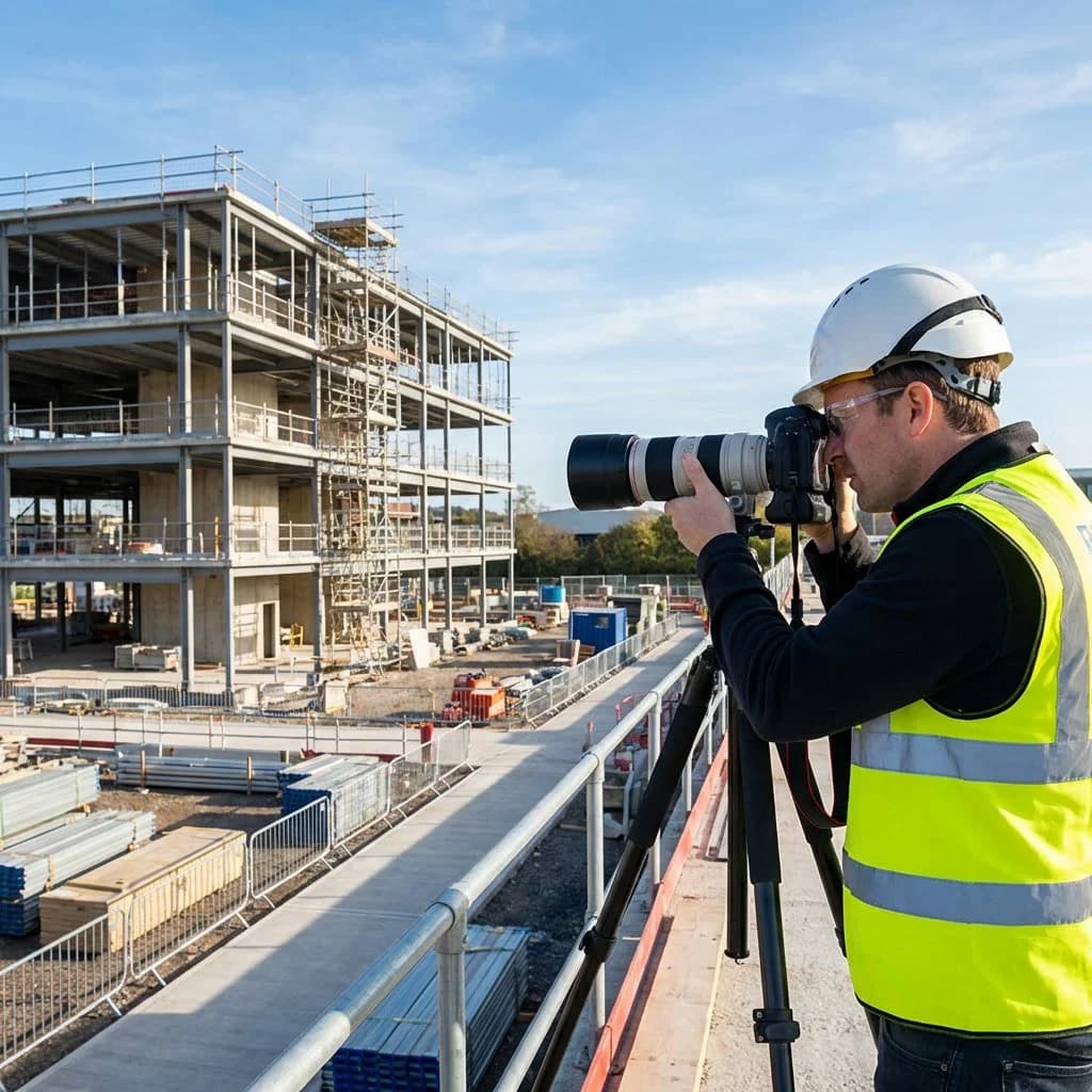
An orthomosaic corrects for all of that. The FAA Part-107 pilot flies a programmed grid pattern, capturing images with 70-80% overlap in every direction. Photogrammetry software then aligns each frame using GPS coordinates and ground control points, stitches them together, and outputs a single flat image with consistent scale across the entire site.
The result behaves like a map, not a photograph. You can pull accurate measurements directly from it. A project manager sitting in an office 200 miles away can measure the distance between a foundation corner and a property line and trust the number.
What builders use it for
The practical applications are concrete.
- Site progress documentation. Fly the same grid every two weeks. You get a dated, visual record of what changed and when. That record protects you in disputes with owners, lenders, or subs.
- Earthwork verification. Compare the existing grade in the orthomosaic against your civil drawings. Catch cut-and-fill discrepancies before you pour.
- Phasing coordination. On a 200-unit horizontal development, a current orthomosaic lets every trade see exactly which pads are ready and which are not, without a site walk.
- Lender and investor reporting. A georeferenced map with draw-cycle dates attached is a cleaner deliverable than a folder of handheld phone photos.
- Marketing foundation. The same flight data that produces the orthomosaic also produces oblique drone photos and video. You are not paying for a separate mobilization.
How it fits into construction documentation
Orthomosaic mapping works best as one layer inside a broader documentation program. Flylisted has shot over 6,953 projects across New England, South Florida, the Caribbean, and California. The teams that get the most value from aerial mapping are the ones who pair it with ground-level construction photography on the same visit.
Ground photos document what the drone cannot see: interior framing, MEP rough-ins, concrete pours. The orthomosaic documents site conditions and progress at scale. Together they give you a record that is defensible, shareable, and useful long after the project closes.
For mixed-use or multi-family developments, Matterport 3D walkthroughs of model units or common areas can be added to the same shoot day. One mobilization produces assets that cover marketing, leasing, and documentation simultaneously.
Accuracy expectations and honest limitations
Orthomosaics produced with good ground control points and a calibrated camera can achieve horizontal accuracy in the 1-3 cm range under ideal conditions. For most builder and developer use cases, that is more than sufficient.
That said, an orthomosaic is not a substitute for a licensed survey. It will not give you a legal boundary determination. What it gives you is a fast, cost-effective visual record that sits alongside your survey data and makes it more usable on a day-to-day basis.
Dense tree canopy, active construction equipment, and low-contrast surfaces (fresh concrete, uniform gravel) can reduce stitching accuracy. A good pilot plans around these conditions. That means flying at the right altitude, at the right time of day, and revisiting sections if the initial data shows gaps.
When to schedule your first flight
The earlier in a project you establish a baseline orthomosaic, the more useful every subsequent flight becomes. Pre-construction is the right time. You capture existing conditions, document the site before any earth is moved, and set a reference layer that every future map can be compared against.
After that, a consistent flight interval tied to your draw schedule is the most practical approach. Monthly works for most projects. Larger, faster-moving sites benefit from bi-weekly coverage.
Flylisted delivers residential photo projects within 24 hours of the shoot. Orthomosaic and construction documentation timelines are scoped per project, but the same operational discipline applies. You will not wait three weeks for a deliverable you needed last Tuesday.
See Flylisted's construction documentation services and request a quote for your next project.