
Drone orthomosaics for development sites: zoning and use assessment
Orthomosaics give planners, engineers, and municipal reviewers a precise, georeferenced baseline of land before development. See how drone capture saves time and cost.
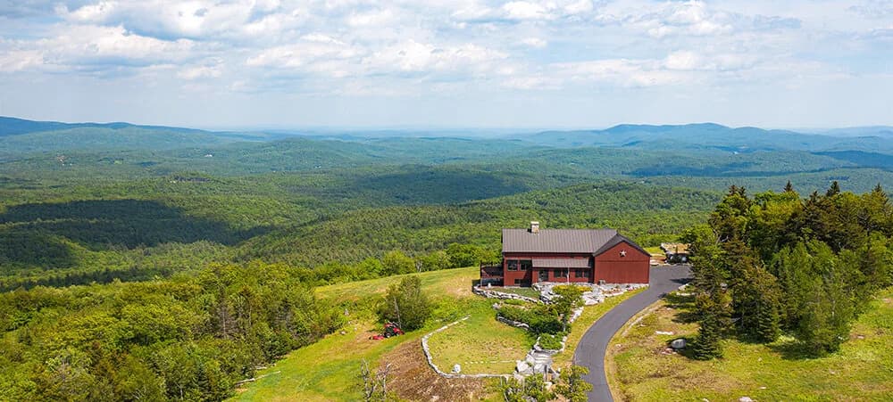
An orthomosaic is a geometrically corrected aerial photograph(s) stitched together to show a site from directly above, with zero perspective distortion. For a developer or architect assessing a parcel, it's the fastest way to establish zoning boundaries, existing structures, setbacks, utilities, and topography without hiring a surveyor or waiting weeks for municipal records.
Why orthomosaics matter for site assessment
Zoning and use decisions rest on precise baseline data. An orthomosaic gives you that in hours, not weeks. You can measure distances, identify neighboring structures, and spot utility easements or right-of-way corridors directly from the image. The data is georeferenced, meaning every pixel has real-world coordinates. That means you can overlay it against tax assessor maps, flood zones, or deed surveys to spot conflicts before design begins.
A developer evaluating a 15-acre parcel for mixed-use can see exactly where the tree line sits relative to setback requirements. An engineer can identify existing drainage patterns or slopes without boots on the ground. A municipal planner reviewing a variance request has a current, objective record of existing conditions.
Orthomosaic vs. standard aerial photos
A drone photograph taken at altitude is not an orthomosaic. Perspective distortion makes it unreliable for measurement. Building corners appear slanted. Roads curve unnaturally. You cannot trust distance or boundary calls from a raw photo.
An orthomosaic is processed (sometimes called "orthocorrected"). Software removes lens distortion and the tilt angle, projecting every pixel to a vertical reference plane. The result is geometrically accurate, scale-true, and measurable. For zoning review or boundary assessment, it's the only format that works.
What gets captured
A single-flight orthomosaic typically includes:
- Building footprints and roof edges
- Property lines and fence lines
- Pavement (parking, roads, driveways)
- Vegetation and tree canopy
- Topography (if processed with elevation data)
- Adjacent structures and setbacks
- Utility poles, transformers, and visible infrastructure
If you need elevation data as well, lidar or photogrammetric processing adds a digital surface model (DSM). That gives planners drainage analysis, grade changes, and shadow/sun exposure data. It's optional but valuable for complex sites.
Zoning and code review workflows
Once you have an orthomosaic, overlay it against parcel boundaries and zoning maps. You can immediately see:
- Setback distances to property lines
- Lot coverage percentage (buildings + pavement)
- Proximity to wetlands or protected areas
- Existing easements or rights-of-way
- Distance to neighboring uses (residential, commercial, industrial)
- Buffering requirements for incompatible uses
Municipal planning departments recognize orthomosaics as reliable baseline documentation. Many accept them as part of site-plan submissions, site-plan amendments, or variance applications. You eliminate the need to print and mark up old assessor photos or rely on verbal descriptions of site conditions.
Turnaround and accuracy
A single-site orthomosaic is typically completed in 24 to 48 hours. Accuracy depends on flight altitude and camera resolution but is generally 2 to 4 centimeters per pixel. That's precise enough for zoning measurement, setback verification, and code compliance. For boundary surveys or deed descriptions, you still hire a surveyor. For planning and development decisions, orthomosaics provide the speed and clarity needed to move forward.
Common use cases
Developers use orthomosaics for:
- Preliminary site feasibility (before architect or surveyor engagement)
- Zoning verification and code interpretation
- Variances, site-plan reviews, and municipal submissions
- Neighbor notification and public engagement (showing existing vs. proposed)
- Construction site baseline and progress tracking
- Site-plan updates mid-project if conditions change
Architects and engineers use them to draft site plans faster, with accurate existing conditions baked in. Planners use them to document conditions at application time, protecting the municipality and applicant from disputes over what the site looked like on day one.
Working with current data
Zoning and use assessment depend on current conditions. A five-year-old orthomosaic is a historical record, not a basis for decisions. If a site has been cleared, subdivided, or built out since the last aerial, a fresh flight is essential. Drone orthomosaics are inexpensive enough that re-flight for material changes is standard practice.
For development sites across New England and South Florida, a single orthomosaic usually costs less than a day of surveyor fees. Turnaround is standard 24 hours. The result is a georeferenced baseline that every stakeholder (architect, engineer, planner, town reviewer) can reference in the same format.
If you're assessing a parcel for zoning compliance, planning a use change, or preparing a municipal submission, an orthomosaic removes guesswork and shortens the decision cycle.
View pricing and request a drone orthomosaic for your development site