
Drone footage for site acquisitions: a due diligence tool
Drone video documents site conditions, access, utilities, and neighboring properties faster and cheaper than boots-on-ground inspection alone.
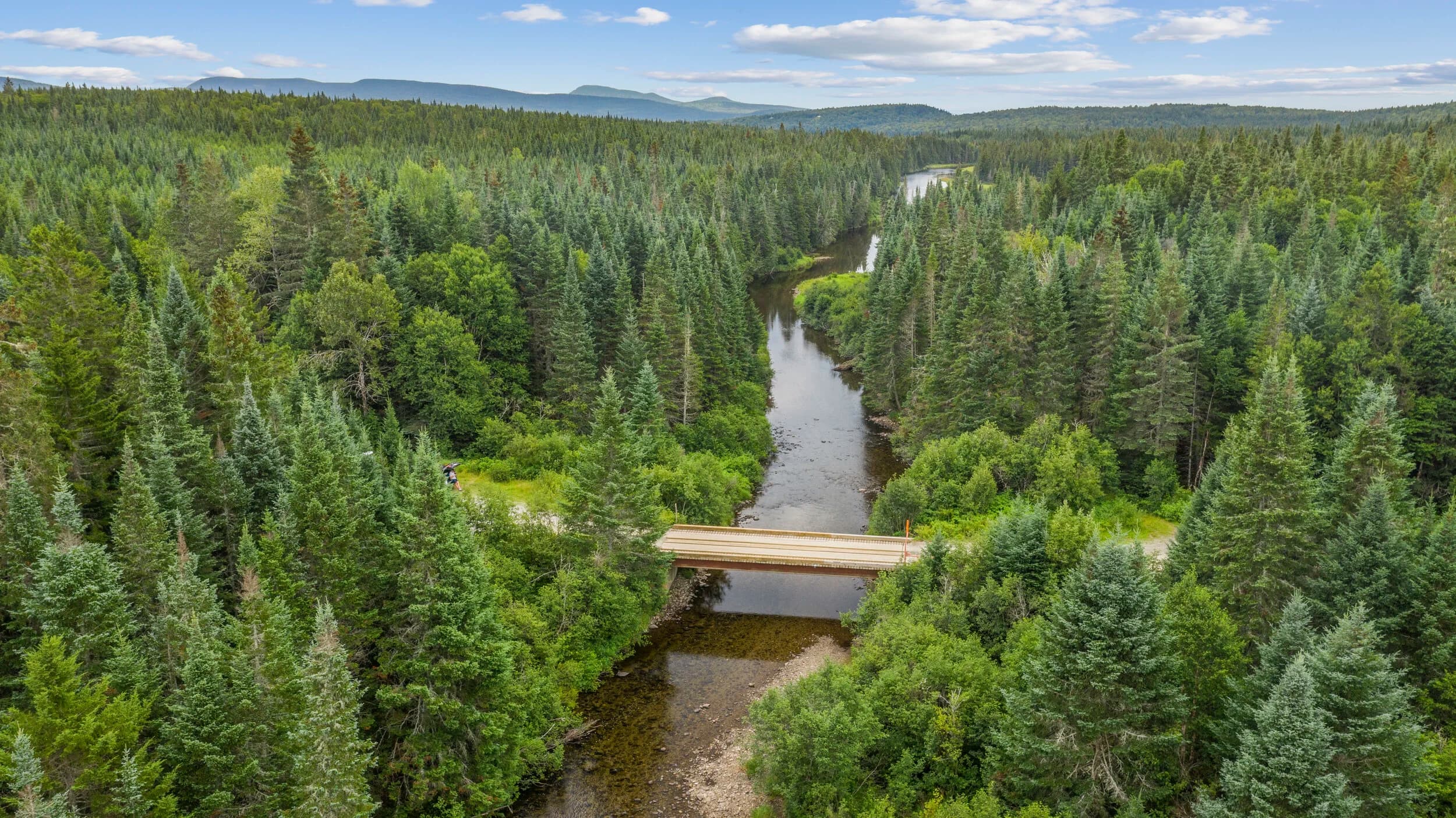
When you're evaluating a commercial property for acquisition, you need to see what's really there. Not what the broker's listing says. Not what the 2D plot plan claims. Drone footage captures the actual site in minutes, from multiple angles, in full daylight, with zero guesswork.
For developers, investors, and operators, this video becomes part of your due diligence file. It's cheap insurance against surprises at closing or after.
Site conditions and access
A drone shows you the ground reality. Slopes. Grading. Drainage patterns. Existing pavement condition. Structures on adjacent lots that might obstruct your view, shade, or future expansion. A 10-minute flight captures what takes a site inspector two hours to walk and photograph on foot.
Access points matter. Can construction equipment actually reach the site? Where are the existing curb cuts? What's the sight line at the entrance? What's the street condition? Drone footage answers these faster than three separate site visits.
Utilities and infrastructure
You can spot utility lines, poles, and transformers from the air. Water mains. Sewer access points. Stormwater features. Not all of this will be visible or accurate on municipal plans. A drone survey gives you a baseline to confirm with the utility companies before you commit capital.
If the property has structures, a drone shows roof condition, HVAC units, and any visible external damage. That intel shapes your inspection checklist and negotiation strategy.
Neighboring properties and zoning context
What's directly adjacent? What's across the street? A drone video captures the immediate neighborhood in one shot. You'll see if there are residential neighbors close enough to raise concerns. You'll spot commercial traffic, loading zones, and competing tenants. You get zoning context that matters for your business plan.
This is especially valuable for multi-family developers and hotel operators. The drone shows you what guests and residents will see. What noise sources are nearby. What pedestrian and vehicle traffic patterns look like.
Time and cost efficiency
Drone work is fast and scalable. You can survey a 50-acre parcel or a tight urban lot in one flight. Video is timestamped. It's replayable. Multiple stakeholders can review the same footage without returning to site. You save travel time. You reduce the number of in-person inspections you need to authorize.
For development teams managing multiple site options, this efficiency matters. You narrow your list faster. You move capital toward the strongest candidates.
Legal and contractual value
Drone footage creates a documented record of site conditions on a specific date. If disputes arise later about what was present at the time of offer, you have video evidence. It's not a substitute for a phase-one environmental or structural engineer's report, but it supports those reports and provides continuity.
Share the footage with your legal team, lenders, and partners. It becomes part of your acquisition package and your underwriting files.
What drone footage won't do
It won't tell you subsurface conditions. It won't measure soil bearing capacity or identify contamination. It won't replace a title search or a survey. It's complementary to those tools, not a replacement.
The drone sees the surface. Everything below or inside stays hidden. That's why you still hire inspectors, engineers, and environmental consultants. But the drone gives them a head start and a roadmap.
Getting it right
Work with a drone operator who holds an FAA Part-107 certificate. Require them to deliver the raw video plus a edited highlight reel. Ask for the footage in a format your team can actually open and review (MP4, not a proprietary file). Have clear timing and weather requirements in your contract.
Flylisted has shot 6,953 projects and holds Part-107 certification across New England, South Florida, the Caribbean, and California. We deliver commercial site documentation the same day or next day.
Drone footage for site acquisitions costs less than a single engineer site visit and saves you multiple trips. It's due diligence that actually scales.