
Drone photography for commercial land sales: zoning and boundaries
Drone footage reveals lot lines, adjacent uses, and zoning context. Learn how aerial imaging closes deals on raw land and development sites.
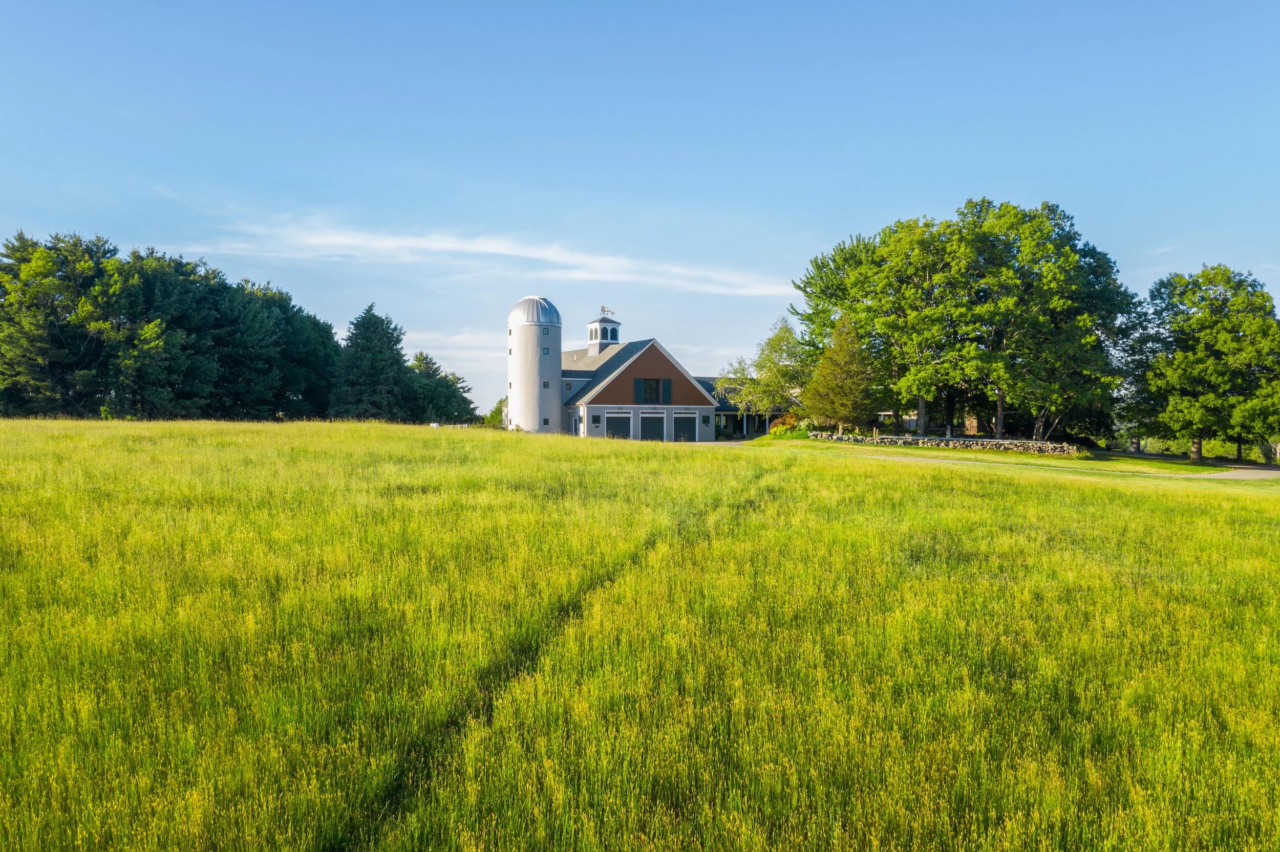
Why drone footage matters for land sales
Buyers of commercial land need certainty. They want to see the shape of the property, how it sits relative to roads and neighbors, and what's already built nearby. Ground-level photos miss all of this. A drone captures the boundary, the terrain, the access points, and the surrounding zoning context in a single pass.
For developers and investors, that context is the deal. A parcel zoned for mixed-use sits next to industrial. Another lot has a wetland buffer that shrinks buildable square footage. The drone shows all of it. No guessing. No site visit surprises.
Boundaries and lot lines
Drone photography does not survey the property. It does not mark official lot lines. That job belongs to a surveyor. But drone footage gives buyers and agents the shape of the lot, the approximate perimeter, and how corners relate to existing structures and roads.
When you combine drone stills with a property deed or survey plat, the buyer gets a complete picture. The drone shows what the survey says on paper. The buyer sees the actual footprint, the slope, the tree line, the easements or right-of-ways that might limit development.
For land parcels larger than 2 acres, drone footage is often the only practical way to show the full property in a single frame. Ground shots require a dozen photos from different angles. A drone does it in one or two passes.
Zoning and adjacent uses
Zoning determines what can be built. Drone footage reveals the zoning context. You can see:
- What surrounds the property (residential, commercial, industrial, vacant)
- Road frontage and setbacks
- Parking and traffic patterns in the district
- Neighboring building heights and density
- Utility corridors and infrastructure
A buyer in Massachusetts or Florida wants to know if a commercial lot is near industrial trucks, railroad yards, or high-density apartments. Drone footage answers that in seconds. The buyer gets a realistic view of the neighborhood, not a sanitized listing photo.
This is especially useful for properties in transition zones (rural land becoming suburban, older industrial becoming mixed-use). The drone shows the current state and the potential.
Terrain and site conditions
Commercial land often has slopes, wetlands, rock, or fill. Drone photos reveal surface conditions that matter for construction cost and timeline.
Flat land is cheaper to build on. Steep slopes require cut and fill, foundation work, and drainage. Wet areas need permits and often cannot be developed. Drone footage makes these facts visible to buyers before they spend money on engineering.
A parcel that looks level from the road might slope 15 feet from one corner to another. A developer needs that information early. Drone photography documents it.
Access and egress
Buyers need to see how traffic flows to and from the property. Drone footage shows:
- Road connections and traffic flow
- Curb cuts and existing driveways
- Proximity to major intersections
- Visibility from the highway
- Loading dock access for industrial sites
For a developer, bad access is a deal killer. Good visibility from the main road is a major selling point. Drone footage makes that clear.
Best practices for commercial land shoots
Drone photography of commercial land works best when you capture multiple altitudes and angles. A low-altitude pass (around 100 feet) shows ground-level detail and vegetation. A high-altitude pass (200-300 feet) reveals the whole parcel and surroundings.
Weather and lighting matter. Clear skies show zoning boundaries and neighboring properties. Soft morning or afternoon light is better than harsh midday sun.
For large parcels, a second orbit at medium altitude (150 feet) can show the relationship between the property and roads or utilities. Vary angle and direction to show access points and site context from multiple views.
Still photos work well for marketing and brochures. Video of a slow flyover helps buyers mentally walk the property and understand its scale.
Flylisted provides FAA Part-107 certified drone service in New England and South Florida, with a standard turnaround of 24 hours for most shoots. That means you can list a land parcel with professional aerial imagery the day after booking.
The return on aerial imagery for land
Commercial land buyers are sophisticated. They budget for due diligence. Professional drone footage is a low-cost way to qualify buyers early and avoid showing land to investors who won't proceed. It also compresses the sales cycle by reducing the number of site visits required before an offer.
For brokers in New England and South Florida, drone photography has become table stakes for land parcels over 1 acre. Buyers expect it. Agents who offer it close faster.