
Drone photography for land sales: acreage and boundary mapping
Drone imagery shows acreage, topography, and boundaries in seconds. Here's why land agents should stop relying on static maps.
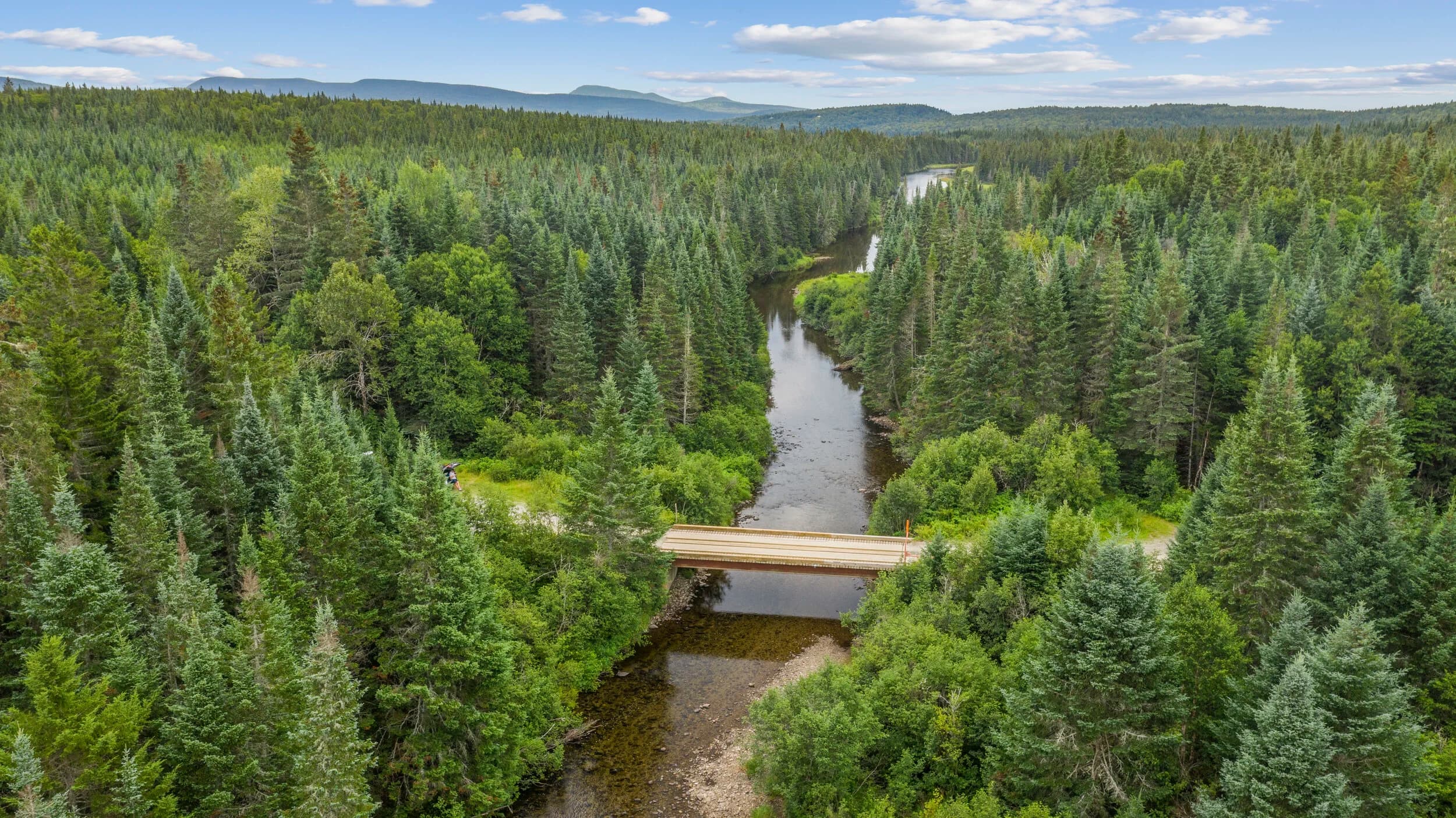
Land sales move at a different pace than residential. A buyer needs to see what 15 acres actually looks like. A static plat map doesn't tell them if the property slopes, floods, or borders a road they didn't know existed. Drone photography closes that gap in minutes.
The problem with flat marketing for acreage
Most land listings lean on aerial images from Google Earth or county assessor maps. They're free. They're old. A 2019 satellite image doesn't show a new utility corridor, recent clearing, or the actual tree line. Worse, it gives buyers the impression you didn't spend money on their listing. That matters when land prices run into six or seven figures.
Drone photography shot on demand shows the property as it exists today. It shows slope, access roads, neighboring structures, and how the land meets its boundaries. You can fly the perimeter and give buyers a 90-second tour they'll never forget.
Why drone beats satellite for land deals
Satellite imagery is on a schedule. You get what the provider captured, when they captured it. Drone work is custom. You choose the angle, the altitude, the season, the conditions. For land sales, that control matters.
Flylisted holds an FAA Part 107 license. That means legal operation over properties of any size, any setback from roads or structures, any weather window. We've flown ranch properties, development parcels, conservation land, and industrial sites. On 6,953 projects, we've documented 4,000+ properties. Land buyers see:n
- Actual topography (no guessing from contour lines)
- Driveway and road conditions
- Water features and drainage patterns
- Timber density and species composition
- Proximity to utilities, highways, or neighbors
- Seasonal access issues
Boundary mapping from the air
Many land listings include a plat but no visual context. Where is that line actually on the ground? Drone footage answers it. A pilot can fly the perimeter, show the cleared edges, highlight any encroachments, and prove survey markers exist.
For subdivisions or development proposals, drone shots make the phasing plan real. Buyers see exactly which roads go where and which parcels connect. An architect or developer pitching a 50-lot community closes deals faster with a 2-minute drone walkthrough than with a PDF rendering.
Boundary clarity also protects you. A buyer can't claim surprise about a neighbor's fence or a setback rule if the drone footage shows it plainly.
Acreage visibility in one shot
A 40-acre parcel looks small from the ground. From 300 feet up, it's obvious. Drone video gives the scale that photos and maps can't match. A buyer who watches 10 seconds of footage understands size in a way no number on paper does.
This is especially true for land in unfamiliar terrain. Out-of-state investors, corporate land managers, and development partners often can't visit in person. Drone footage becomes the inspection. A professional flight plan that covers the full property boundary, shows the building site, and captures surrounding land use is your best lead magnet.
Getting the shot right
Not every drone operator knows land sales. Some pilots deliver beautiful sunsets and miss the details buyers need. You want footage that shows:
- Clear boundaries and perimeter condition
- Access routes and road quality
- Slope and drainage flow
- Utilities and easements (visible overhead lines, etc.)
- Seasonal water presence
- Neighboring uses and distances
The shot also needs to fit your market. A 300-acre timber parcel in Maine needs different coverage than a 2-acre development lot in South Florida. Altitude, frame rate, and editing all depend on what matters to your buyer.
The deliverable that sells land
Drone imagery becomes part of your marketing stack. It goes on your website, your MLS listing, your email pitch to brokers. A single 2-minute video often generates more inquiry than six months of static photos.
For land, drone work is not a nice-to-have. It's the fastest way to prove what you're selling and move a buyer from curious to confident. A 24-hour turnaround on delivery means you can list on Monday and have full multimedia assets by Tuesday.
When acreage is your business, acreage footage should be your standard.