
Drone photography for waterfront properties: selling the view
Waterfront listings demand aerial perspective. Drone photography captures the water view, lot size, and proximity to amenities that ground-level photos miss entirely.
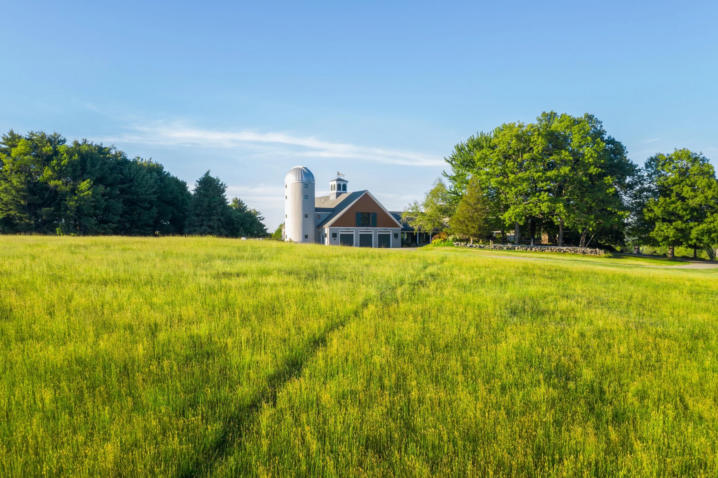
Waterfront property buyers aren't just buying a house. They're buying a view, a lifestyle, and the permanence of that view. A standard front-angle photo from the driveway tells them none of that. A drone shot tells them everything.
The water is the primary asset. It needs to be the primary shot.
Why drones close waterfront deals
A buyer scrolling listings on their phone sees a $2.4M home and a $2.4M home. The difference comes down to proof. Drone photography proves the water is there, proves it's deep enough to matter, proves the lot has meaningful depth, and proves there aren't power lines cutting through the view.
Ground-level photography shows the neighbor's roof and two parking spaces. Drone photography shows the shoreline, the estuary, the opposite shore, and the actual scale of the property relative to its setting. That context converts browsers into showing requests.
For waterfront properties, aerial perspective isn't optional. It's the primary listing asset after price and location.
What to capture from above
The drone shot list for waterfront homes is more specific than standard residential:
- The water view and horizon line. Shoot at sunrise or sunset to catch water color and light bounce. Overcast skies flatten water; clear skies make it pop.
- Lot boundaries and usable depth. A buyer needs to see if the lot goes back 40 feet or 150 feet. Drone height reveals acreage and relationship to neighboring properties.
- Dock, beach, or access points. If there's a private dock, deck, or beach access, shoot it head-on from the water side, then pull back to show its relationship to the house.
- Road proximity and surrounding context. Is this a quiet cove or a busy waterway? Drone footage clarifies what buyers will actually see and hear.
- Seasonal context. If you're marketing in winter, winter shots work. If water level or tidal range matters, shoot at high and low tide.
Crop and frame matter. Wide shots show context. Closer passes show the dock and deck detail. Smooth, slow lateral movement reads as intentional and professional. Jerky pans read as amateur.
Multi-family and resort applications
Drone photography for waterfront apartments and resort properties follows the same logic but scales differently. A 50-unit building with bayfront access needs to show that access, the view envelope from upper units, and the waterfront amenities that justify the premium.
Shoot common areas, pool decks, and dock areas from angles that show what residents actually see. Shoot low and from water side to capture the building's relationship to the shoreline. These shots are marketing proof that the waterfront location is real and valuable.
For hotels and resorts, a 30-second flyby that establishes the property on the water, then pulls focus to the pool and beach, then cuts to a sunrise or sunset reflection is standard. The drone moves the viewer's eye from setting to amenity to atmosphere in one continuous arc.
Technical considerations
Water surfaces are visually complex. Reflections, glare, and tidal movement all affect shot quality.
Shoot during golden hour (first hour after sunrise, last hour before sunset) when water has color and depth, not the flat gray of midday. Polarizing filters on the drone camera (if applicable) cut glare and deepen water tone. Overcast skies produce duller water; clear skies with high sun produce reflective glare. Early morning often offers the best compromise: light and color without harsh glare.
Drone flights over water require FAA Part-107 certification and line-of-sight maintenance. Never fly directly over open water where you can't safely recover the aircraft. Check local regulations; some waterfront areas restrict drone operations.
Shoot multiple passes at different altitudes and angles. One perfect shot rarely exists. Three good angles edited together with smooth transitions and a clear narrative beat the single perfect frame every time.
The competitive advantage
Not every agent uses drone photography for waterfront homes. Some assume it's too expensive or too technical. It's neither. The agents who do use it outlist the agents who don't by a measurable margin. A waterfront home without aerial photography is a waterfront home selling itself blind.
Flylisted has shot over 6,953 projects, including waterfront properties across New England, South Florida, the Caribbean, and California. Waterfront homes represent one of the clearest ROI cases for drone work because the view is literally the sale.
Start with drone photography for your next waterfront listing.