
Drone photography for waterfront properties: shoreline assessment
Aerial perspective reveals erosion, dock condition, and property boundaries that ground-level photos miss. How drone imagery supports waterfront sales.
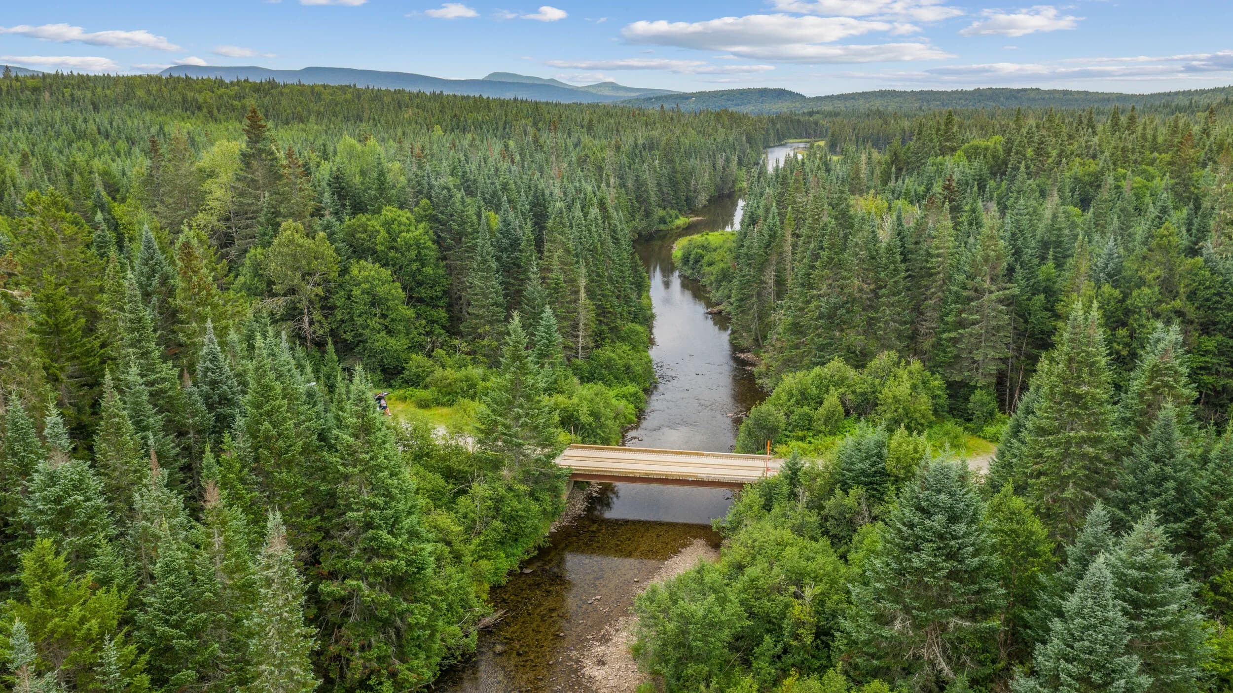
Waterfront properties sell on what they look like from the water. A ground-level camera shows trees and a deck. A drone shows the shoreline, the dock, the beach, the view from the water, and the land behind it all in one image.
For agents and owners listing waterfront homes, vacation rentals, or multi-family properties along coasts or lakes, drone photography answers questions buyers and renters will ask before they ever step foot on the property.
What drone imagery reveals about waterfront condition
Erosion, dock deterioration, and seawall settlement happen gradually. A homeowner notices them inch by inch over years. A buyer notices them in one visit. Drone footage compresses time and perspective.
Aerial video can show:
- Dock pilings, flotation, and hardware condition from directly overhead
- Seawall or bulkhead cracks and misalignment
- Beach or shoreline composition and stability
- Erosion patterns that indicate future maintenance costs
- Drainage or stormwater runoff into the water
- Boat access and turning radius in the channel
- Neighboring properties and sight lines
- Tide line and water clarity
None of these details appear in photos taken from the lawn. A buyer who discovers a rotting dock face from drone footage can ask hard questions before making an offer. An honest listing that shows those details builds trust.
Shoreline assessment for insurance and lending
Mortgage lenders and insurance underwriters often require documentation of coastal property condition. Drone imagery provides that documentation in a format that's faster and cheaper than hiring an inspector to access difficult terrain.
For properties with erosion concerns, a dated drone video creates a baseline. If erosion worsens, the video evidence supports insurance claims or repair estimates. For multi-family waterfront developments, annual drone documentation tracks shoreline change and informs capital planning.
This isn't a substitute for professional engineering assessment. It's a tool that gets data in front of stakeholders quickly so they can decide whether to escalate to a specialist.
Marketing advantage on the water
Waterfront buyers are active online. They search "waterfront homes with dock access" or "lake house with deep water." That search starts with thumbnails. Drone photography in your listing carousel and in social posts generates 20 to 40 percent higher click-through rates than fixed ground-level images, depending on the platform.
Video performs even better. A 30-second drone clip of a waterfront property, shoreline approach, dock sweep, house reveal, and water view, takes 90 seconds to shoot and 2 to 4 hours to edit. That video can run across Instagram, Facebook, and YouTube. It costs less than a print ad and reaches people actively hunting waterfront.
For vacation rental operators, drone video is essential. A renter booking a week at the beach wants confirmation of dock size, water access, and shoreline privacy. A still photo suggests it. Video proves it.
Coverage and turnaround
Flylisted provides drone photography and video throughout New England (NH, MA, ME, VT, RI) and South Florida. Standard residential drone turnaround is 24 hours. Multi-family, resort, and construction projects are priced per scope.
Weather and water conditions matter. Calm water, clear skies, and low wind produce the clearest footage. Scheduling around tide and daylight extends options (summer shoots can run until 8:30 p.m. in New England). Let your drone operator know your priority: dock condition detail, wide-angle shoreline reveal, or marketing sizzle. That shapes the shot list.
When to shoot drone for waterfront
Timing affects what the drone captures. High tide fills docks and submerges rocks; low tide exposes problems. Shoot at both if assessment is the goal. Mid-morning or late afternoon sun cuts shadows and brings out water color.
For properties with seasonal variation (frozen lakes, seasonal beaches), one drone session per season documents change. For rental listings, shoot when furnishings are staged and the property is occupied and lit. For new construction or development, monthly drone documentation tracks progress from the same vantage point.
The bottom line
Drone photography for waterfront property isn't optional marketing anymore. It's part of due diligence. Buyers expect it. Insurance and lending require it. Renters demand it.
If your waterfront listing or project doesn't have aerial imagery, it's leaving money on the table and questions unanswered.
Get drone photography for your waterfront property at Flylisted's residential drone services.