
Drone surveys for land development: accurate boundary mapping
Drone surveys deliver precise boundary data for site planning and due diligence. See how aerial imaging cuts survey time and cost for developers.
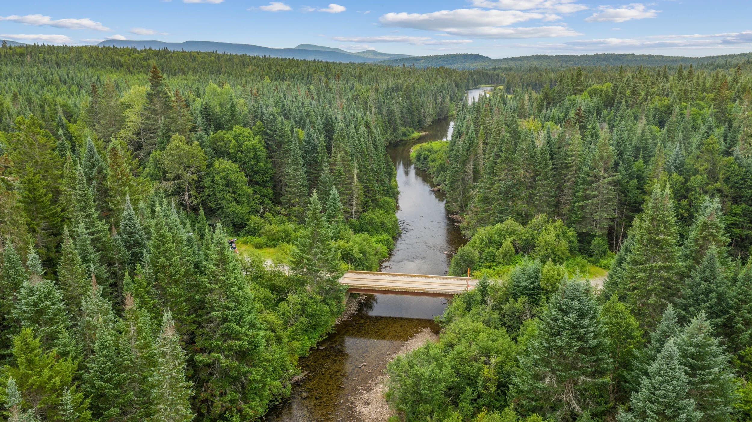
Developers and site planners spend weeks waiting for traditional ground surveys. A drone can capture the same boundary data in a single flight, then deliver orthomosaics and 3D point clouds that your team can reference for months.
Flylisted operates FAA Part-107 certified drone services across New England and South Florida. For land parcels, subdivisions, and multi-family sites, aerial surveys replace slow ground work and cost less than hiring a separate surveying crew.
Why boundary mapping matters before breaking ground
Accurate site topography is non-negotiable. Incorrect elevation data forces costly redesigns mid-construction. Missed boundary disputes delay permitting. Vague existing-condition records leave money on the table when negotiating with contractors.
A drone survey captures the entire parcel in high-resolution imagery. The resulting orthomosaic (a geometrically corrected aerial photo) aligns with your property records and shows curb lines, utility cuts, vegetation, structures, and drainage patterns in one consistent view. That image stays true to GPS coordinates, so your civil engineer and site foreman reference the same ground truth.
What a drone survey delivers
A single flight produces multiple work products:
- Orthomosaics (georeferenced aerial photos) for site planning and permit applications
- 3D point clouds (LiDAR or photogrammetry data) showing elevation, roof heights, and slope
- Contour maps and cross-sections for drainage and grading design
- Change detection over time (compare surveys from month to month)
- Faster timeline than ground crews, often 24 hours from flight to delivery
Civil engineers import point cloud data directly into CAD or design software. No manual digitizing. No guesswork about spot elevations.
Cost and speed advantages
Traditional surveying requires teams on-site with equipment, travel time, and multiple days. Drone work compresses that schedule. A parcel that takes a ground crew a week becomes a dataset in one afternoon. For multi-site portfolios or time-sensitive acquisition due diligence, that speed difference is substantial.
You also avoid traffic control, liability for survey crews on busy roads, and the downtime of multiple site visits. The drone captures it once, correctly.
Common applications
Developers use boundary surveys for:
- Feasibility studies and site planning before design
- Existing-condition documentation for permits
- As-built verification during and after construction
- Environmental impact assessments and stormwater modeling
- Phased development tracking across quarters or years
- Easement and setback verification before purchase
If your team is evaluating a parcel, trying to verify existing conditions before renovation, or tracking progress on a multi-phase build, an aerial survey is the fastest way to baseline your site.
Working with drone data
Not every developer is familiar with point clouds or orthomosaics. Flylisted delivers datasets in standard formats (GeoTIFF, LAS, E57) that your civil engineer, GIS analyst, or surveyor can open directly. We also provide static reports with maps, contour overlays, and measurement annotations for stakeholders who need a print-ready product.
If you need construction documentation over time, aerial surveys can be repeated at the same resolution and angle. Stacked imagery shows grade changes, utility progress, and site conditions month-to-month.
Accuracy and regulatory alignment
Drone surveys deliver centimeter-level accuracy suitable for planning and design. They do not replace licensed surveying for legal boundary determination (that requires a surveyor's seal in most states). But for development work, design iteration, and due diligence, drone data is reliable and admissible in permitting.
Flylisted's Part-107 pilots coordinate with your team on flight parameters, ground control points (if required), and deliverable formats. We handle the technical work. You get usable data in days, not weeks.
Start your next project with a clear picture of the site. Explore Flylisted drone services and current pricing.