
Drone video for property tax appeals: boundary and acreage proof
Aerial footage documents land boundaries and acreage with precision. Use drone video to support tax assessments or challenge inflated valuations.
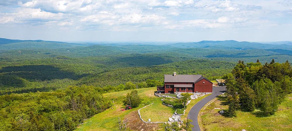
Tax assessments rest on acreage and boundary data. When those numbers are wrong, your property value gets inflated or unfairly compared to comparable sales. Drone video captures the proof you need to challenge an assessment or defend it.
Why assessors get it wrong
Property tax records often contain legacy errors. A parcel might be recorded at 2.5 acres when it's actually 2.1. A boundary dispute with a neighbor might affect assessed value. Topography, wetlands, or road encroachment can reduce usable land. Assessors work from old surveys, GIS data, and site visits. Those sources don't always align.
When you appeal, you need evidence. A plat from 1987 and a tax card photo aren't enough. Assessors and appeals boards want to see the land as it exists now.
What drone footage shows
Drone video captures property lines from directly overhead. It shows the relationship between your parcel and adjacent properties. It records physical features (tree lines, water, structures) that mark boundaries. It documents the actual footprint of usable land.
Footage also reveals discrepancies:
- Acreage overstated by 0.3 or more acres
- Boundary encroachments by roads or neighbors
- Wetland or conservation easements reducing developable land
- Split parcels recorded as one
- Topography that affects value differently than the tax card assumes
A single 4K aerial pass takes 5 to 10 minutes. The video is timestamped, geotagged, and recorded in full resolution. It's contemporary evidence, not a historical document.
How to use drone footage in an appeal
Drone video works best when paired with a current survey or engineer's site plan. The video contextualizes the survey and makes the numbers visible to a board member who may not read plans fluently.
Your appeal packet should include:
- The drone video (full length, no edits)
- A still-frame printout showing key boundaries or problem areas
- A current survey or plat with property lines clearly marked
- A written summary of the discrepancies you're correcting
- Comparable sales that reflect the corrected acreage
The video strengthens your case because it's objective. A camera doesn't guess. It records what exists. An assessor or board member can't argue with overhead footage that shows your 2.1-acre parcel, not 2.5.
Timing and cost
Drone documentation fits a tax appeal timeline. You have 45 to 180 days from the assessment date to file an appeal in most New England and Florida jurisdictions (rules vary by state and county; check your assessor's office). Within that window, you can commission drone footage in days, not weeks.
The cost is a fraction of a failed appeal or years of overpaid taxes. A single-property residential drone flight runs between $200 and $500, depending on acreage and complexity. For current pricing, check Flylisted's /pricing page. That investment pays for itself if you recover even one year of overassessed taxes.
Beyond the appeal
Drone footage also documents land for future reference. If you sell, refinance, or develop the property, that aerial record is a resource for title work, environmental reviews, or site planning. It's dated evidence of conditions at a specific moment.
For multi-parcel owners or developers, drone video can resolve questions about which parcels qualify for agricultural exemptions, which are buildable, or how easements affect each lot.
Get drone documentation for your tax appeal
If your property tax assessment doesn't match your land, start with a visual check. Order drone footage from a licensed Part-107 pilot who can deliver geotagged, timestamped video. Pair that with a survey. Then file your appeal with evidence that speaks for itself.